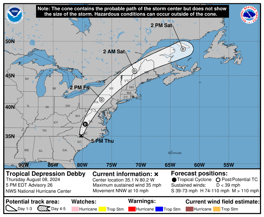
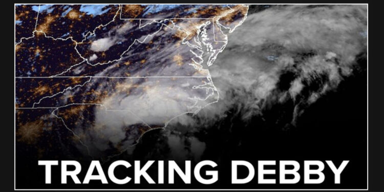
Parts of the Tri-State area are under a tornado watch as the remains of Debby move north and northeast, causing heavy rains, flash floods, and potential tornadoes. This development has prompted officials to issue a warning to residents to stay safe and take necessary precautions to protect themselves and their property.
Get ready for your AccuWeather Alert forecast, brought to you by meteorologist Brittany Bell.
The interior Northeast is expected to face the brunt of the impact, primarily due to the heavy rainfall and the high possibility of flooding.
Recent heavy rainfall in the New York City and Tri-State area has left the ground saturated, making it highly susceptible to flash flooding. Even a small amount of rain could trigger this type of flooding, so residents are advised to stay vigilant and take necessary precautions.

Friday afternoon and night are when the worst of the expected weather will hit.
The forecast predicts that there will be a rainfall of 1-2 inches, along with higher amounts in some localized areas, particularly towards the north and west of the city.
The combination of strong southerly winds and saturated ground has the potential to cause damage to trees and properties. There is also a risk of power outages occurring as a result.
Although Debby is no longer classified as a tropical storm, it still has enough tropical characteristics to potentially produce severe storms with damaging wind gusts and brief tornadoes.
The gusty winds will cause water to flow into the bays and rivers along the coast, resulting in coastal flooding and an increased potential for rip currents.
The Northeast region can look forward to a refreshing change in weather as cooler and less humid air sweeps in from the west-to-northwest. The upcoming days are expected to be pleasant.


